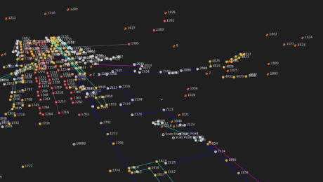
Three Ways Your Surveying Practices Might Be Falling Short
Do you use laser scanning in your surveying work? If not, you might be missing out on key advantages that are rapidly becoming standard.
- Published in Featured Home, Featured Improve Your Skills, Improve Your Skills
Survey Digitalization and the Power of Visualization
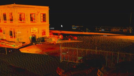
Want to improve project communication within your organization and with your clients? Point clouds and flythrough videos speak volumes.
- Published in Featured Grow Your Business, Featured Home, Grow Your Business
On-Demand Webinar: Automation, Digitalization and the Rise of the Next Generation Surveyor
Discover how to harness technology to achieve a digital transformation that will have an impact on your current business and the future of the profession.
- Published in Featured Grow Your Business, Grow Your Business
How to Save Field Time with Background Maps
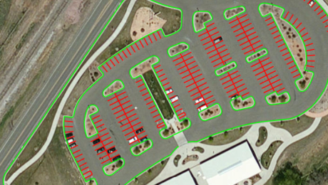
The ability to display background maps in the field enhances the visualization of your project data and helps ensure you capture all the data you need.
- Published in Featured Home, Featured Improve Your Skills, Improve Your Skills
Video: How Stahl Sheaffer Uses Reality Capture to Maximize Data Quality
Jonathan Efaw, Stahl Sheaffer LiDAR manager, explains how technology empowers the firm to drive innovation in surveying and engineering excellence.
- Published in Grow Your Business
Five Tips to Accelerate Success with Mobile Mapping
The best way to see a fast return on your mobile mapping investment is to learn from the experience of others and avoid common mistakes.
- Published in Grow Your Business
Video: How E. L. Robinson Delivers Fast, Accurate and Dependable Surveying and Mapping
Tom Rayburn, LS, manager of surveying at E.L. Robinson, shares what sets the firm apart in providing fast, accurate and dependable surveying and mapping.
- Published in Grow Your Business
Four Key Questions When Comparing Mobile Mapping Systems
Are you ready to expand your business into mobile mapping? Here are four key questions to ask to make sure you get the maximum ROI.
- Published in Grow Your Business
The Where, When, What and Why of Mobile Mapping
What exactly is a “mobile mapping system”? What are its component parts? And why would you want to use a mobile mapping system, anyway?
- Published in Grow Your Business
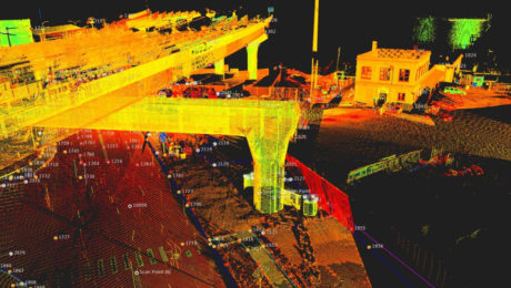
Mobile Mapping Enables a Fast-Turnaround Bridge Topo in Idaho
Horrocks Engineering and Spicer Group deliver results in one-third of the time compared to a conventional survey with significantly more data thanks to their innovative approach.
- Published in Grow Your Business
