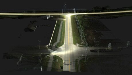
Langan Delivers Futuristic Surveying and Mapping with the Pegasus TRK
Using a mobile mapping system that is ‘leaps and bounds over everything else in the market’ gives the firm a significant advantage in speed, data quality, and safety.
- Published in Featured Grow Your Business, Featured Home
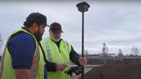
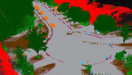
Video: How to Deliver Stockpile Measurements in Minutes with RTK GNSS
Burke Asay shows how to complete your survey in 60 seconds and make the data instantly accessible in the office, with just a few extra minutes for processing and reporting. Is your workflow that fast?
- Published in Improve Your Skills
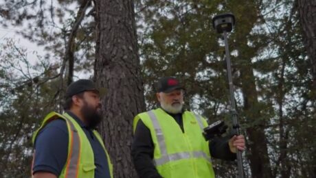
Video: How to Maximize Your RTK GNSS Performance Under Canopy
Are you keeping your RTK GNSS firmware/software up to date? Burke Asay of Leica Geosystems shows how this small step can have a big impact on productivity.
- Published in Improve Your Skills
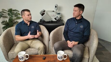
Video: Tech Insider – What R.W. Engineering & Surveying Finds Most Surprising About the Leica Pegasus TRK Mobile Mapping System
Discover why the civil engineering and land surveying firm chose the TRK and why they see it as a game changer for so many surveying and mapping applications.
- Published in Grow Your Business
R.W. Engineering & Surveying Takes Lean Project Delivery to a New Level with AI-Powered Mobile Mapping
Innovative Leica Pegasus TRK technology enables small firm to provide big value to a wide range of clients throughout the Midwest.
- Published in Featured Grow Your Business, Featured Home
Video: Tech Insider – What Drives Jason Ellis?
Go behind the scenes with Jason Ellis to explore why so many Leica Geosystems mobile mapping customers consider Jason a trusted advisor, mentor, and friend.
- Published in Grow Your Business
The Difference Between New Technology and Innovation in Mobile Mapping
Just because a technology is new doesn’t make it innovative. Jason Ellis explains why the distinction matters.
- Published in Grow Your Business
Video Review: Rami Tamimi Evaluates the New BLK360 Imaging Laser Scanner
Can you use the second-generation BLK360 as a surveying tool? Rami puts the technology to the test in this video.
- Published in Grow Your Business
What’s Your Surveying Technology Contract Missing?
How can you make sure your technology partner is looking out for your best interests, and not just their own? Here are three key components of a favorable technology contract.
- Published in Hide
Video: Which is Better – a Total Station or GNSS Receiver?
Watch as Rami Tamimi takes a total station and GNSS receiver head to head for time, accuracy, and overall functionality.
- Published in Improve Your Skills

