REALITY CAPTURE EDUCATION SERIES:
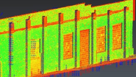
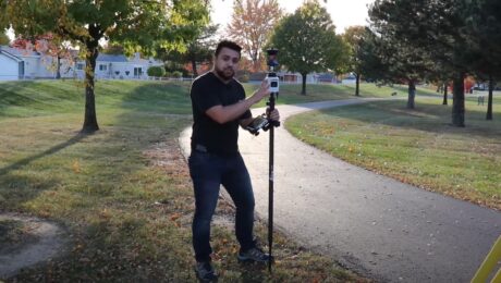
Rapid Baseline-Referenced Inspections with Leica Cyclone 3DR
Join Adam Westfall in this on-demand session to learn how to quickly create high-value reports that provide crucial insight for your clients.
- Published in Featured Home, Featured Improve Your Skills, Improve Your Skills
REALITY CAPTURE EDUCATION SERIES:
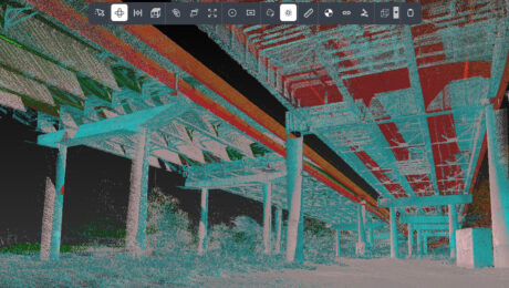
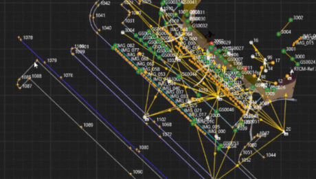
One-Button Mobile Mapping Workflows with Cyclone Pegasus Office
Join Jason Ellis in this on-demand session to learn how to harness the power of automation in the new Leica Cyclone Pegasus Office software.
- Published in Featured Home, Featured Improve Your Skills, Improve Your Skills
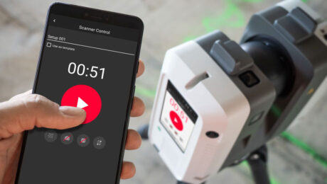
A Scanner for Every Purpose: Geo Week USIBD Scanner Shootout Highlights Leading-Edge Point Cloud Data Capture Capabilities
Whether you need a small form factor, survey-grade scanning, or maximum versatility, these three laser scanners provide proven reality capture performance.
- Published in Featured Home, Featured Improve Your Skills, Improve Your Skills
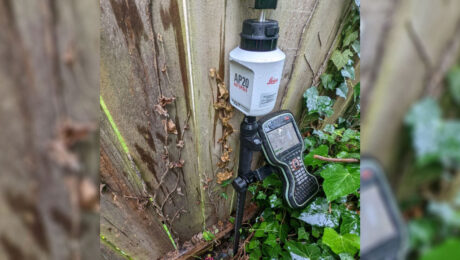
Survey Pole Review: Leica AP20 AutoPole Delivers Time Savings, Simplicity and #SurveyFun
Blazing fast, fun to use and virtually foolproof, the AutoPole is proving to be the newest essential tool in this surveyor’s toolbox.
- Published in Featured Improve Your Skills, Improve Your Skills
Video Review: Watch Rami Tamimi Take the AP20 AutoPole for a Test Drive
How much faster is the AP20 AutoPole compared to a traditional surveying prism pole? Check out the speed test in this video.
- Published in Featured Home, Featured Improve Your Skills, Improve Your Skills
Esri UC 22 Highlights: The Future of GIS Data Collection, Mobile Reality Capture, GPR Utility Detection and More
Explore the fastest, simplest solutions for capturing and delivering high-accuracy mapping data at Booth 619.
- Published in Featured Improve Your Skills, Improve Your Skills
New Mobile Mapping Technology Transforms Project Efficiency
The new Leica Pegasus TRK mobile mapping system combines artificial intelligence, autonomous workflows and intuitive interfaces to make mapping projects efficient and cost-effective.
- Published in Featured Home, Featured Improve Your Skills, Improve Your Skills
On-Demand Webinar: Tips, Tricks & Tech for High-Efficiency Surveying: A Live Q&A with the Experts
Examine the real-world implications of some of the latest technology advances along with insights on how to put technology to work in your firm.
- Published in Featured Home, Featured Improve Your Skills, Improve Your Skills
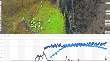
On-Demand Webinar – Monitoring 104: Using the Power of Automation for Real-Time Analysis and Reporting
Explore the platform that minimizes risk by maximizing real-time access to monitoring intelligence.
- Published in Featured Home, Featured Improve Your Skills, Improve Your Skills
On-Demand Webinar – Monitoring 103: Using GNSS and Network Infrastructure for Real-Time and Long-Term Monitoring
Learn when to use GNSS in your installed monitoring projects and how to optimize the network infrastructure.
- Published in Featured Improve Your Skills, Improve Your Skills

