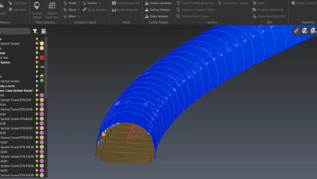
Video: How to Create a High-Value Cross Section Survey Report in Minutes
Jonathan Efaw shows how to rapidly create a high-value, actionable report of tunnel cross sections in Leica Cyclone 3DR software.
- Published in Improve Your Skills
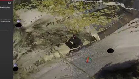
Video Library: Cyclone 3DR Workflows
Explore how to move from scan data import through analysis and publishing intuitively and simply with Cyclone 3DR software.
- Published in Improve Your Skills
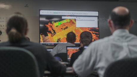
How to Unlock Four Benefits of Reality Capture in Surveying
Surveyors active in the 3D imaging space agree: Education is the key to recruitment, retention, optimized return on investment, and the readiness to be innovative and take on the next opportunity.
- Published in Grow Your Business
A Scanner for Every Purpose: Geo Week USIBD Scanner Shootout Highlights Leading-Edge Point Cloud Data Capture Capabilities
Whether you need a small form factor, survey-grade scanning, or maximum versatility, these three laser scanners provide proven reality capture performance.
- Published in Featured Home, Featured Improve Your Skills, Improve Your Skills
Video: Easy Scanning, Import, and Editing with a Scanning Total Station and Surveyor-Focused CAD Software
Leica Geosystems’ Andrew Gillis and MicroSurvey’s Kailey Graves show how to streamline an as-built survey workflow by pairing the MS60 MultiStation with MicroSurvey CAD software.
- Published in Improve Your Skills
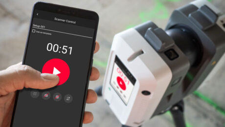
Video: An Easy Way to Capture Detailed Storm and Sanitary Data in a Two-Minute Site Survey
An imaging laser scanner with a highly automated workflow and intuitive apps enables survey work to be done in a fraction of the time compared to traditional approaches.
- Published in Improve Your Skills
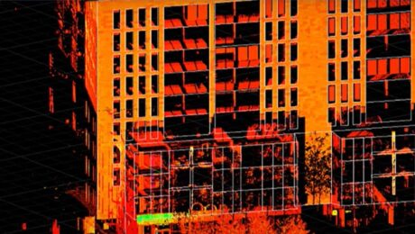
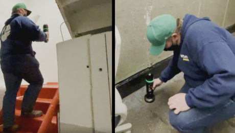
Innovative Laser Scanning Approach Yields Rapid Results in Time-Critical Surveying Project
When high-speed wasn’t fast enough, McLaren Engineering Group turned to high-tech in the form of a handheld imaging laser scanner to deliver the ultimate value.
- Published in Grow Your Business
A ‘Technology Consultancy’: G4 Geomatic Resources Takes Innovative Approach to Equipment, Service and Support
New business combines the expertise of G4 Spatial Technologies, Geomatic Resources, Easy Drive and Leica Geosystems Houston to create the ultimate technology resource in Texas and Oklahoma.
- Published in Featured Grow Your Business, Featured Home, Grow Your Business
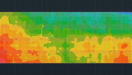
Video: How to Accelerate FF/FL Reporting with a Simple Software Plugin
Peyton Hatch shows an easy way to create FF/FL reports from point clouds using Leica CloudWorx.
- Published in Improve Your Skills
New Autonomous Reality Capture Sensors Make Digital Twins Effortless
New fully autonomous solutions safely and repeatedly capture accurate 3D point clouds and panoramic images of changing environments with minimal user intervention.

