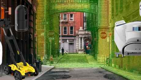
Esri UC 22 Highlights: The Future of GIS Data Collection, Mobile Reality Capture, GPR Utility Detection and More
Thursday, 16 June 2022
Explore the fastest, simplest solutions for capturing and delivering high-accuracy mapping data at Booth 619.
- Published in Featured Improve Your Skills, Improve Your Skills
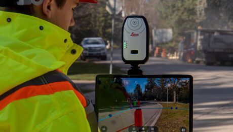
Video: The Easiest Way to Capture and Visualize Utility Infrastructure with High Accuracy
Tuesday, 26 April 2022
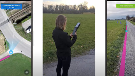
Combining high-accuracy GIS data collection with seamless field workflows and the vGIS augmented reality visualization platform delivers next-level intelligence on utility infrastructure.
- Published in Improve Your Skills
Here’s your video: How to achieve fast, accurate GIS data collection
Thursday, 17 June 2021
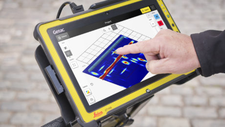
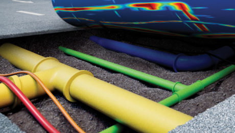
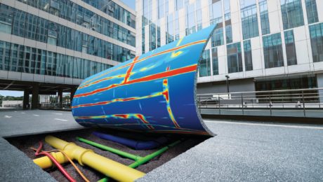
Take a journey with Simon Pedley to experience the groundbreaking potential of GPR with automated data analysis and 3D utility mapping.
- Published in Hide
GPR for Everyone: How Underground Asset Detection Creates New Surveying Opportunities
Tuesday, 14 July 2020
Advances in ground penetrating radar (GPR) make it easy to view and interpret data in the field.
- Published in Improve Your Skills
Explore the Latest in GIS, Reality Capture and Detection in These On-Demand Sessions from the 2020 Esri UC Virtual Event
Thursday, 25 June 2020
Virtual GIS event provides unique opportunities to discover cutting-edge solutions for asset collection and mapping.
- Published in Featured Improve Your Skills, Hide, Improve Your Skills

